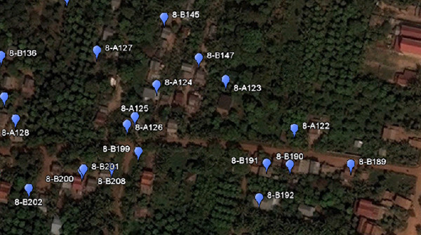
RDI operates a team of field data collection technicians and lab data managers that have the capability to design and implement data collection projects involving household social-economic or research surveys and water/soil quality assessments. The combination of geographic positioning system (GPS) and geographic information systems (GIS) allow spatial data to be accurately collected, analyzed, and presented. The RDI GIS/Data Laboratory has already completed projects for a variety of companies and organizations including the World Bank Water and Sanitation Program. Contact labdirector@rdic.org for inquiries or to learn more about previous projects
- No 50A, Phum Prek Thom Sangkat Kbal Koh, Khan Chbar Ampov
- 855 (0)12-200-235
- info@rdic.org

GIS Data

